Usa map Stock Photos

100,000 Usa map pictures are available under a royalty-free license

  • Best Match
  • Fresh
  • Popular
1-100 of 100,000
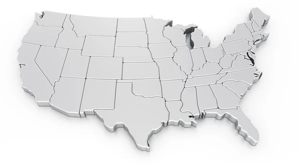
3d rendering of a map of USA
3d rendering of a map of USA — Stock Photo, Image
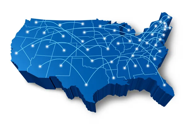
U.S.A 3D map communication network
U.S.A 3D map communication network — Stock Photo, Image
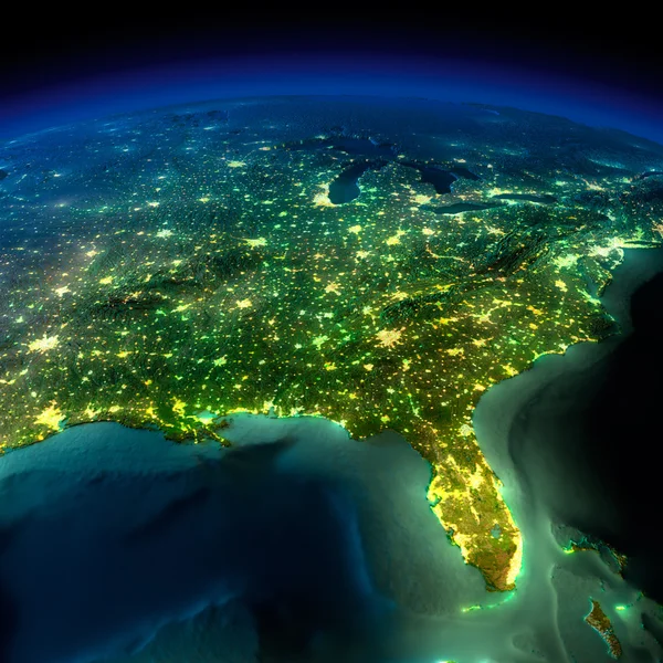
Night Earth. A piece of North America - South Eastern United Sta
Night Earth. A piece of North America - South Eastern United Sta — Stock Photo, Image
Map of USA
Map of USA — Stock Photo, Image
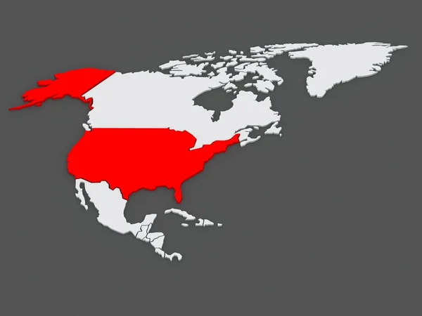
Three-dimensional map of USA.
Three-dimensional map of USA. — Stock Photo, Image
USA map
USA map — Stock Photo, Image
USA city lights
USA city lights — Stock Photo, Image
Main air routes in North America
Main air routes in North America — Stock Photo, Image
USA map formed by names of major cities
USA map formed by names of major cities — Stock Photo, Image
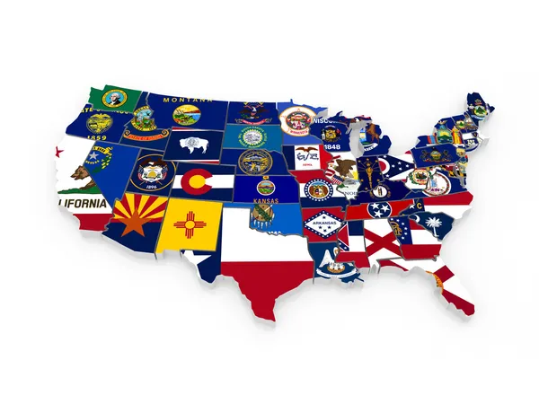
Map of USA. 3d
Map of USA. 3d — Stock Photo, Image
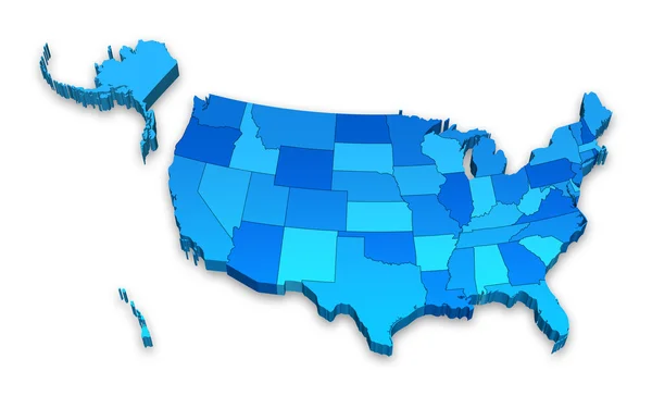
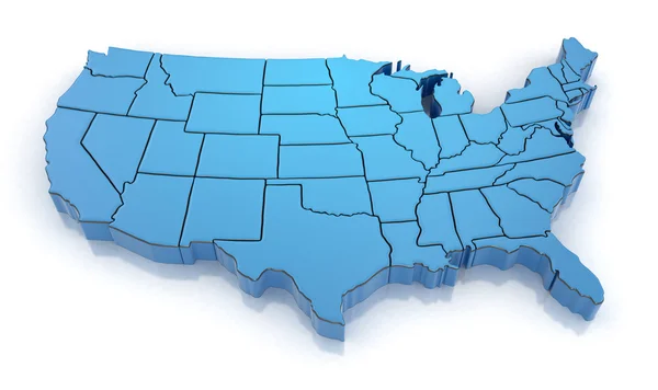
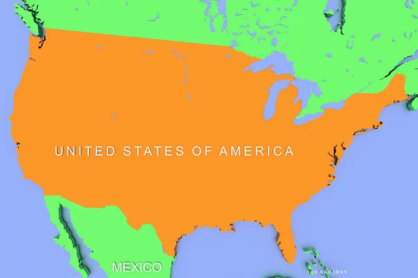
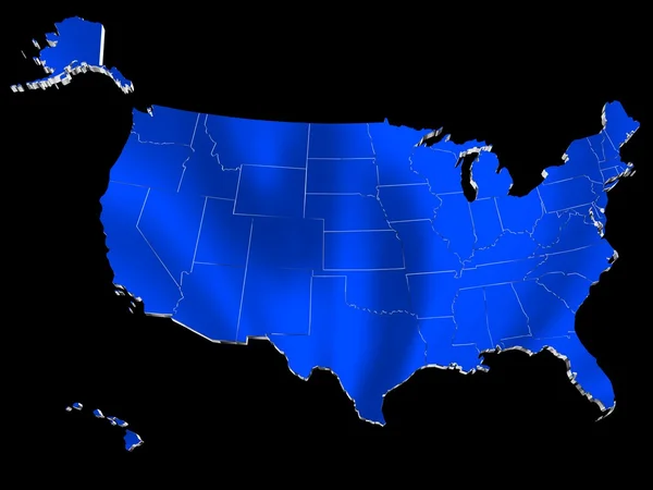
3D Blue USA Administrative map
3D Blue USA Administrative map — Stock Photo, Image
Composition of usa map silhouette over city in motion blur. patriotism and celebration concept digitally generated image.
Composition Usa Map Silhouette City Motion Blur Patriotism Celebration Concept — Stock Photo, Image
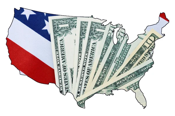
USA Stars and Stripes flag and money within outline of USA map.
USA Stars and Stripes flag and money within outline of USA map. — Stock Photo, Image
USA map multicultural group of young people integration diversit
USA map multicultural group of young people integration diversit — Stock Photo, Image
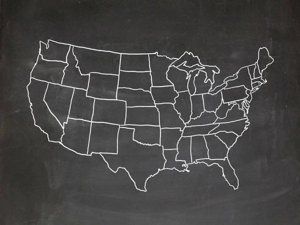
US chalkboard
US chalkboard — Stock Photo, Image
Business success
Business success — Stock Photo, Image
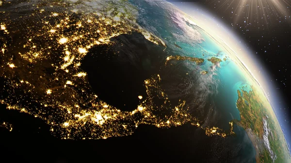
Planet Earth Central America zone using satellite imagery NASA
Planet Earth Central America zone using satellite imagery NASA — Stock Photo, Image
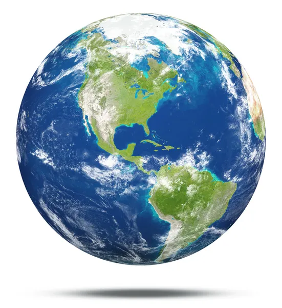
Earth
Earth — Stock Photo, Image
Flag of USA with copy space for your text - 3D illustration
Flag Usa Copy Space Your Text Illustration — Stock Photo, Image
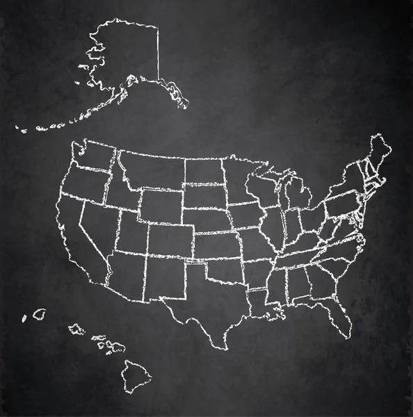
USA map with Alaska and Hawaii, separate states individual, blackboard chalkboard raster
USA map with Alaska and Hawaii, separate states individual, blackboard chalkboard raster — Stock Photo, Image
North America at night on planet Earth
North America at night on planet Earth — Stock Photo, Image
USA at night on planet Earth
USA at night on planet Earth — Stock Photo, Image
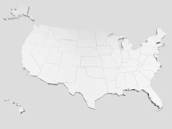
A 3D rendered map of USA in white
Rendered Map Usa White — Stock Photo, Image
Compass and map of island with treasure sign
Compass Map Island Treasure Sign — Stock Photo, Image
Map of USA. Image with clipping path.
Map of USA. Image with clipping path. — Stock Photo, Image
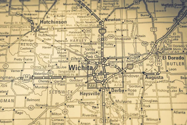
Wichita USA map travel background
Wichita Usa Map Travel Background — Stock Photo, Image
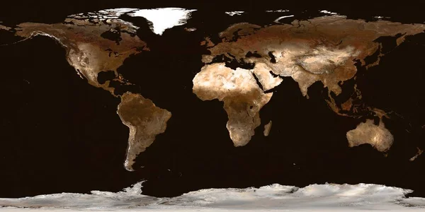
Real detail world map of continents. Isolated on dark blue. Real colour of continents. Scene reconstructed and edit from real NASA foto of earth.
Real Detail World Map Continents Isolated Dark Blue Real Colour — Stock Photo, Image
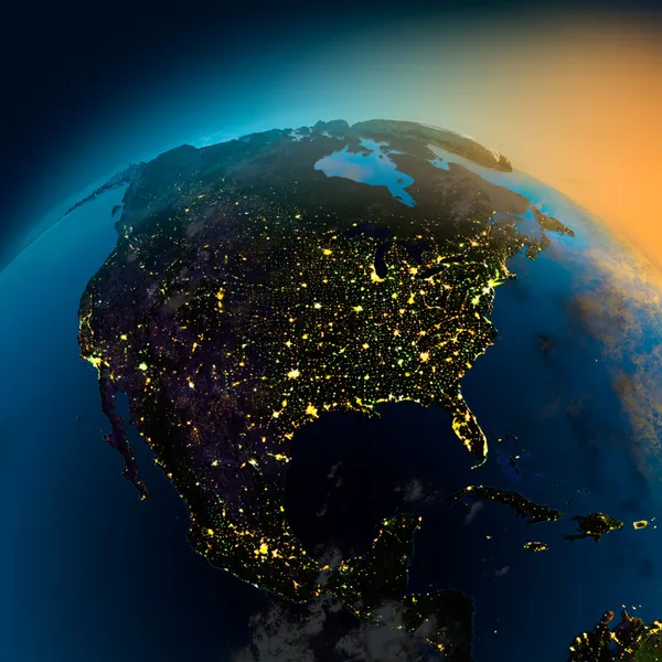
Night view of North America from the satellite
Night view of North America from the satellite — Stock Photo, Image
North America from space
North America from space — Stock Photo, Image
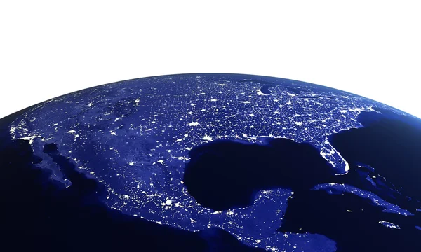
USA at night on white
USA at night on white — Stock Photo, Image
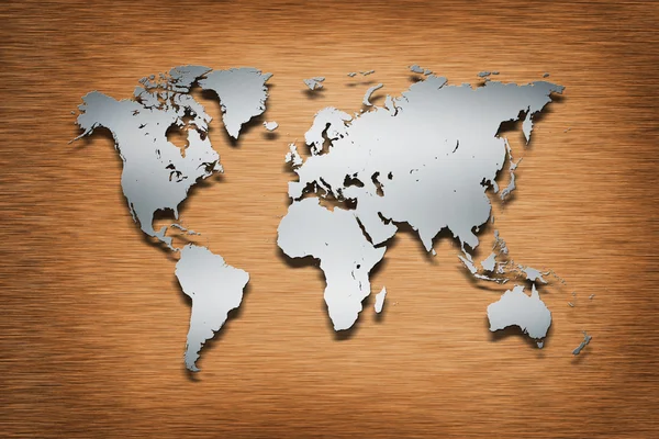
Metal World Map on wood
Metal World Map on wood — Stock Photo, Image
USA city lights
USA city lights — Stock Photo, Image
Polygon USA country map on blockchain hud banner.
Polygon USA country map on blockchain hud banner. — Stock Photo, Image
Map of USA
Map of USA — Stock Photo, Image
Map of USA
Map of USA — Stock Photo, Image
Usa map network connection concept illustration
Usa map network connection concept illustration — Stock Photo, Image
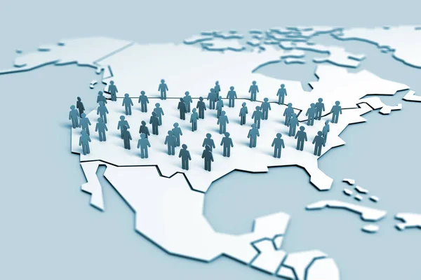
United States of America population community concept. 3D Rendering
United States America Population Community Concept Rendering — Stock Photo, Image
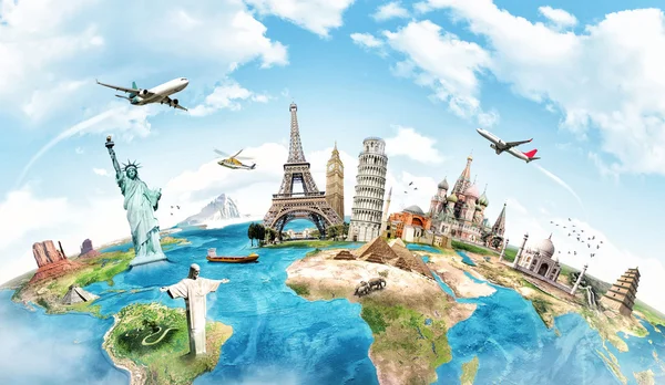
Travel the world monument concept
Travel the world monument concept — Stock Photo, Image
Travel the world concept
Travel the world concept — Stock Photo, Image
Travel the world monument concept
Travel the world monument concept — Stock Photo, Image
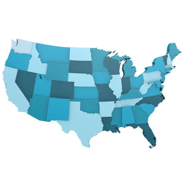
Blue USA map
Blue USA map — Stock Photo, Image
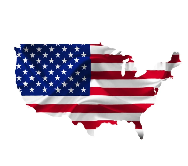
Map of United States of America with waving flag isolated on whi
Map of United States of America with waving flag isolated on whi — Stock Photo, Image
Lovely black family father and daughter posing at home
Lovely black family father and daughter posing at home — Stock Photo, Image
Image of happy african american woman and her little daughter at
Image of happy african american woman and her little daughter at — Stock Photo, Image
Joyful female siblings in casual lying on bed
Joyful female siblings in casual lying on bed — Stock Photo, Image
Happy family having fun outdoors
Happy family having fun outdoors — Stock Photo, Image
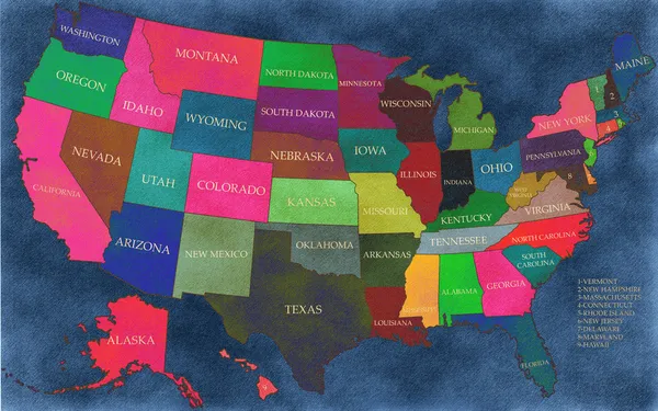
Map of the United States of America
Map of the United States of America — Stock Photo, Image
USA country flag map
USA country flag map — Stock Photo, Image
Map of United States
Map of United States — Stock Photo, Image
Businesswoman using USA world map interface 3D rendering
Businesswoman using USA world map interface 3D rendering — Stock Photo, Image
Travel the world monuments concept
Travel the world monuments concept — Stock Photo, Image
World map
World map — Stock Photo, Image
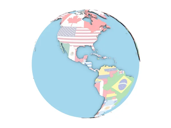
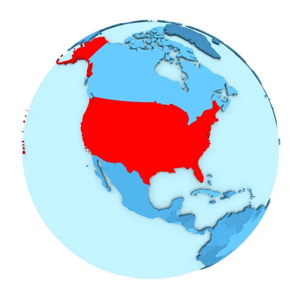
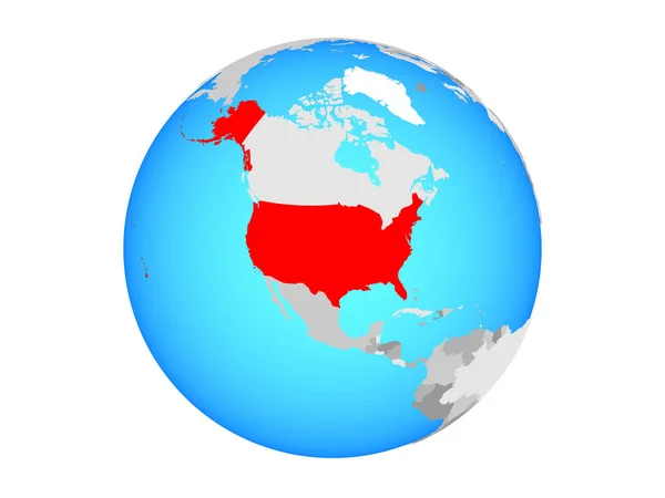
USA on blue globe
USA on blue globe — Stock Photo, Image
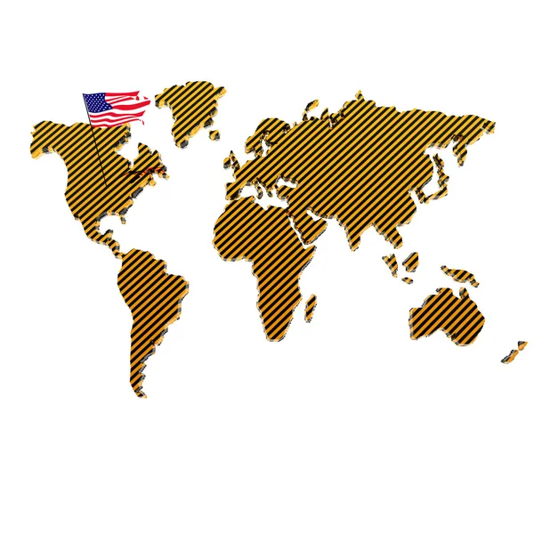
Map of the world with the flag of the united states of america
Map World Flag United States America — Stock Photo, Image
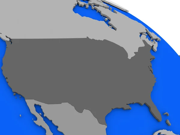
USA on grey political globe
USA on grey political globe — Stock Photo, Image
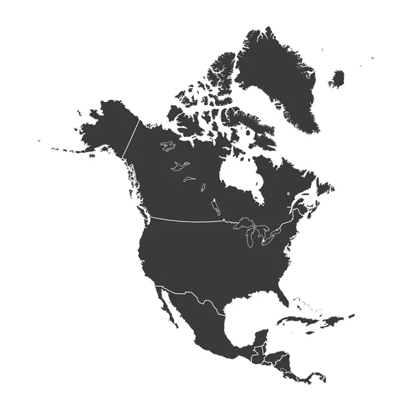
Outline on clean background of the continent of North America
Outline on clean background of the continent of North America — Stock Photo, Image
USA on globe
USA on globe — Stock Photo, Image
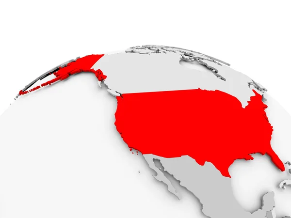
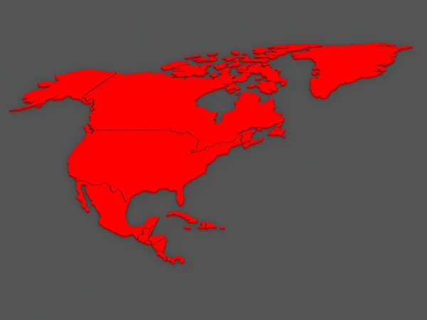
Map of USA in red
Map of USA in red — Stock Photo, Image
Shape of Delaware, state of Mainland United States, and its capital. Distance scale, previews and labels. Bilevel elevation map. 3D rendering
Shape Delaware State Mainland United States Its Capital Distance Scale — Stock Photo, Image
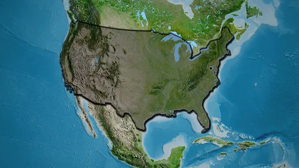
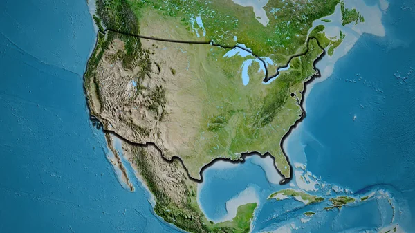
Close-up of the United States of America border area highlighting with a dark overlay on a satellite map. Capital point. Bevelled edges of the country shape.
Close United States America Border Area Highlighting Dark Overlay Satellite — Stock Photo, Image
USA on grey globe
USA on grey globe — Stock Photo, Image
Map of worlds. USA.
Map of worlds. USA. — Stock Photo, Image
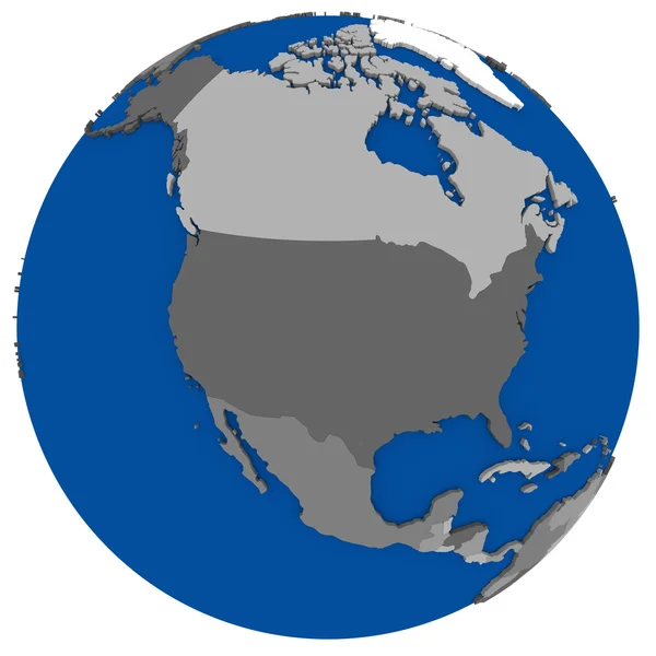
North America on Earth political map
North America on Earth political map — Stock Photo, Image
USA on blue political globe
USA on blue political globe — Stock Photo, Image
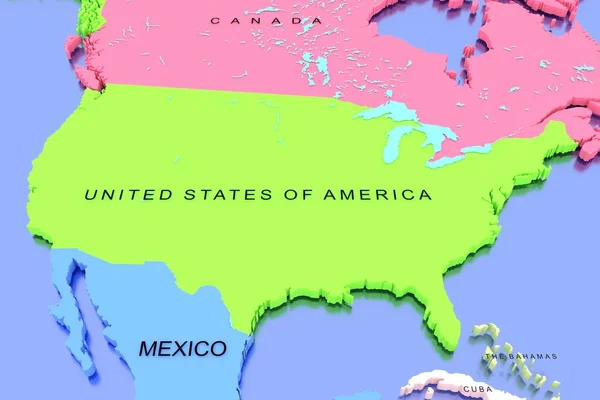
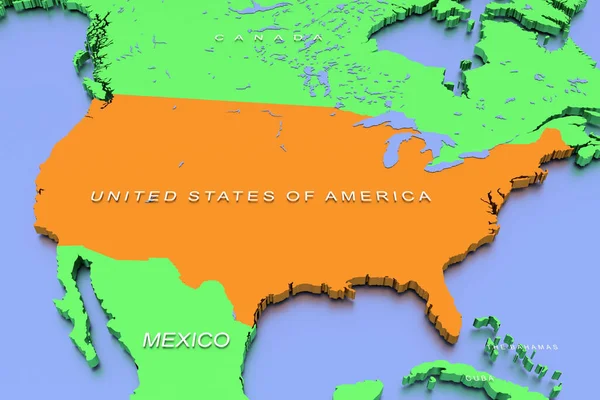
Three dimensional rendered map of North America with country names
Three Dimensional Rendered Map North America Country Names — Stock Photo, Image
Map of USA with separable borders
Map of USA with separable borders — Stock Photo, Image
Close-up of the United States of America border area and its regional borders on a physical map. Capital point. Outline around the country shape. English name of the country and its capital
Close United States America Border Area Its Regional Borders Physical — Stock Photo, Image
A 3D render of a map of COVID-19 virus pandemic with bright colors in the USA
Render Map Covid Virus Pandemic Bright Colors Usa — Stock Photo, Image
El Salvador on globe isolated
El Salvador on globe isolated — Stock Photo, Image
El Salvador on globe isolated
El Salvador on globe isolated — Stock Photo, Image
USA on globe isolated
USA on globe isolated — Stock Photo, Image
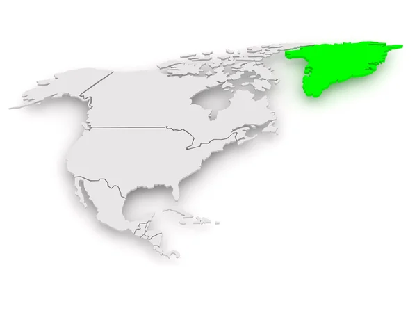
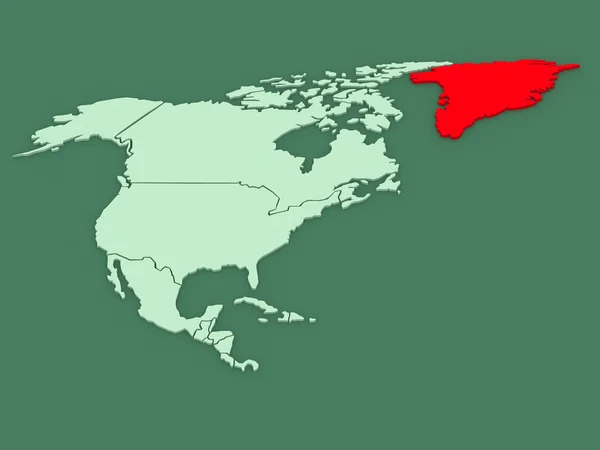
Map of worlds. Greenland.
Map of worlds. Greenland. — Stock Photo, Image
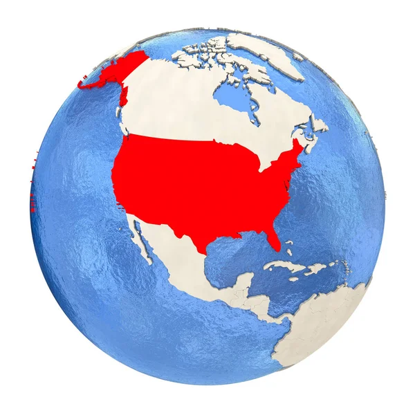
USA in red on full globe isolated on white
USA in red on full globe isolated on white — Stock Photo, Image
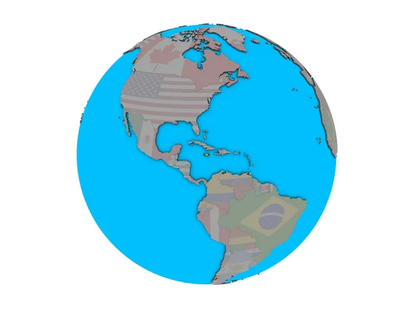
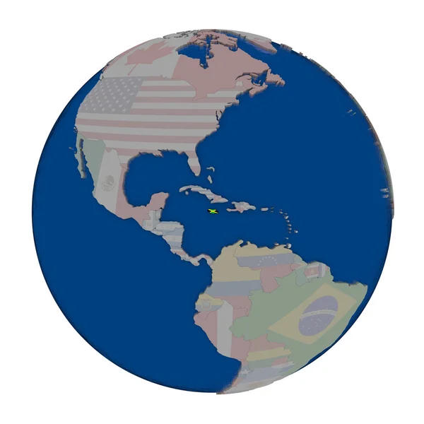
Jamaica with embedded national flag on blue political 3D globe. 3D illustration isolated on white background.
Jamaica Embedded National Flag Blue Political Globe Illustration Isolated White — Stock Photo, Image
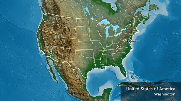
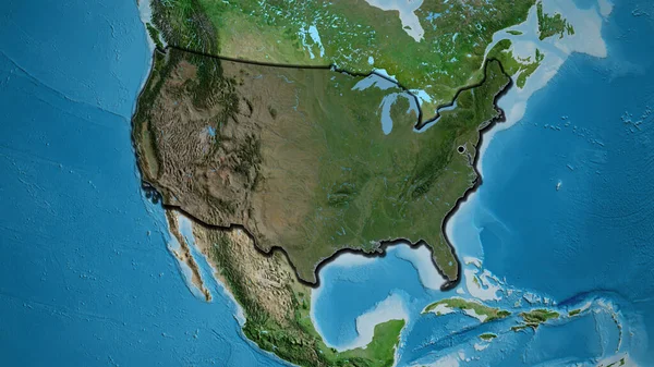
Close-up of the United States of America border area on a satellite map. Capital point. Bevelled edges of the country shape.
Close United States America Border Area Satellite Map Capital Point — Stock Photo, Image
NAFTA memeber states on globe. 3D illustration.
Nafta Memeber States Globe Illustration — Stock Photo, Image
USA Map
USA Map — Stock Photo, Image
A 3D render of a map of the COVID-19 virus pandemic with bright colors in the USA
Render Map Covid Virus Pandemic Bright Colors Usa — Stock Photo, Image
Squared Paper with the Shape of the Country of Finland
Squared Paper with the Shape of the Country of  Finland — Stock Photo, Image
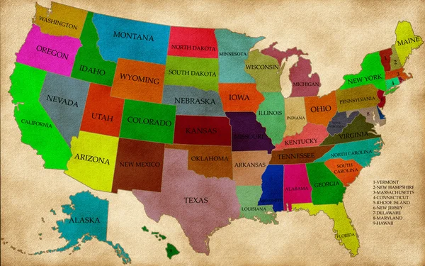
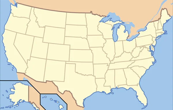
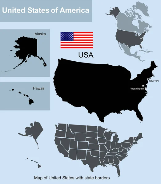
Map of United States with state borders including Alaska and Hawaii
Map United States State Borders Including Alaska Hawaii — Stock Photo, Image
North America on political model of Earth
North America on political model of Earth — Stock Photo, Image
Outline on clean background of the continent of North America
Outline on clean background of the continent of North America — Stock Photo, Image
United States on blue political globe. 3D illustration isolated on white background.
United States Blue Political Globe Illustration Isolated White Background — Stock Photo, Image
Honduras with embedded national flag on blue political 3D globe. 3D illustration isolated on white background.
Honduras Embedded National Flag Blue Political Globe Illustration Isolated White — Stock Photo, Image
Honduras with embedded national flag on blue political globe. 3D illustration.
Honduras Embedded National Flag Blue Political Globe Illustration — Stock Photo, Image
Map of worlds. North America.
Map of worlds. North America. — Stock Photo, Image
Panama with embedded national flag on blue political 3D globe. 3D illustration isolated on white background.
Panama Embedded National Flag Blue Political Globe Illustration Isolated White — Stock Photo, Image
USA on political Earth model
USA on political Earth model — Stock Photo, Image
Close-up of the United States of America border area highlighting with a dark overlay on a satellite map. Capital point. Bevelled edges of the country shape.
Close United States America Border Area Highlighting Dark Overlay Satellite — Stock Photo, Image
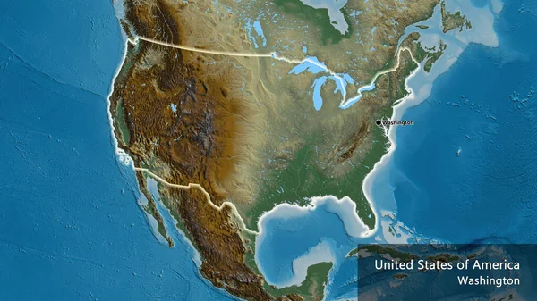
Close-up of the United States of America border area on a relief map. Capital point. Glow around the country shape. English name of the country and its capital
Close United States America Border Area Relief Map Capital Point — Stock Photo, Image
Jamaica on political globe
Jamaica on political globe — Stock Photo, Image
Us flag on the world map isolated on a white
Us flag on the world map isolated on a white — Stock Photo, Image
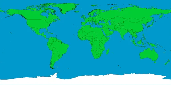
World map with borders
World map with borders — Stock Photo, Image
North America on Earth political map
North America on Earth political map — Stock Photo, Image
USA map
USA map — Stock Photo, Image
Map of worlds. Canada.
Map of worlds. Canada. — Stock Photo, Image

Related image searches

USA Map Images: Find the Perfect Visuals for Your Projects

Are you in need of striking and high-quality images of the USA map? Look no further! Our extensive collection offers a wide variety of stunning visuals that are perfect for a range of projects. Whether you're working on a presentation, website, or marketing campaign, our stock images provide you with the ideal tools to captivate your audience and convey your message effectively. In this search page overview, we'll walk you through the available file types, their uses, and provide some practical advice on how to make the most of your chosen visuals.

Diverse File Formats for Maximum Flexibility

Our USA map images are available in three highly compatible file formats: JPG, AI, and EPS. Each format serves a specific purpose and can be easily integrated into a variety of projects.

JPG images are perfect for web design and online publications, as they offer a good balance between image quality and file size. They can be seamlessly embedded into websites, blogs, or social media posts, ensuring your content shines across different digital platforms.

AI (Adobe Illustrator) files provide high-resolution, vector-based images that are perfect for design projects. If you're working on a brochure, flyer, or any print material that requires crisp detailing, AI files offer infinite scalability without compromising the visual integrity. You can easily customize the colors, shapes, and other elements to match your project's requirements.

EPS (Encapsulated PostScript) files are ideal for professional presentations, video projects, or large-scale prints. They are compatible with a wide range of applications and offer exceptional image quality even when zoomed in. EPS images are highly versatile and can be edited, resized, and rearranged without any loss in quality, making them a valuable choice for any project.

Choosing the Perfect Image for Your Project

Selecting the right visual for your project can be a daunting task, but fear not! We have some practical advice to help you make the best choice. When looking for USA map images, consider the following:

1. Purpose: Determine the purpose of your project. Is it for educational purposes, marketing campaigns, or for a travel-related website? Understanding the intention will guide you in selecting the most fitting image.

2. Style: Consider the overall tone and style of your project. Do you require a minimalist, modern, or vintage aesthetic? Our collection offers a wide range of styles to suit various design preferences.

3. Message: Think about the specific message you want to convey through your project. Is it to showcase demographics, highlight states, or focus on specific landmarks? Identifying your message will help you narrow down the options.

4. Color Palette: Take into account the color scheme of your project. Our images come in a variety of color options, allowing you to find the perfect match that complements your overall design.

5. Audience: Understand your target audience and their preferences. Are you catering to a younger demographic, business professionals, or travel enthusiasts? Adapting your visuals to resonate with your audience is key to creating impactful designs.

Enhance Your Projects with Striking USA Map Images

By incorporating visually captivating USA map images into your projects, you can enhance their appeal and make a lasting impression on your audience. Whether you need to add geographical context, highlight specific areas, or create an engaging visual experience, our collection has the perfect image for you.

To access our extensive library of USA map images in various file formats, simply browse through our search page and select the visuals that best align with your project requirements. With our diverse collection and practical advice, you'll be well-equipped to create standout designs that leave a lasting impact. Start exploring today and take your projects to new heights!