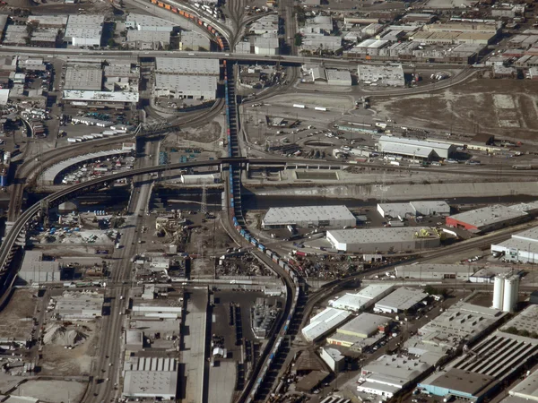
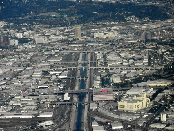
Aerial Highway Communities San Francisco Bay Area California — Stock Photo, Image

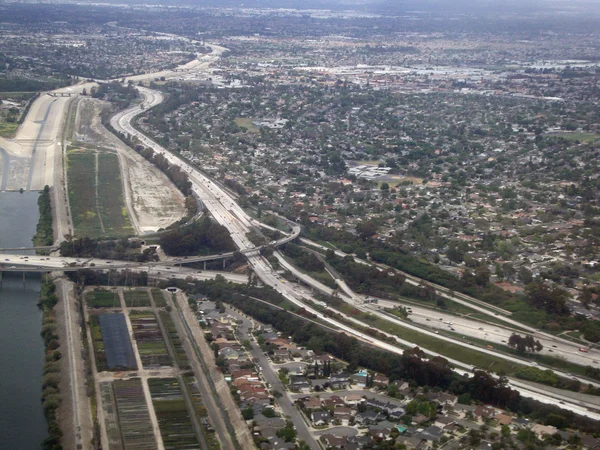
Aerial of Highway and Communities in San Francisco Bay Area, California. — Photo

Aerial of Highway and Communities in San Francisco Bay Area, California.

 — Photo by ericbvd

Same Series:

Highway interchange in LA next to Canal. Aerial Photograph.
Highway interchange in LA — Stock Photo, Image
Highway stretches through LA Suburbs and Mountains with roads exited into the landscape. Aerial Photograph.
Highway stretches through LA and Mountains — Stock Photo, Image
LA - October 26, 2018: Downtown Los Angeles, Waterway, and surrounding area aerial view taken from an airplane.
October 2018 Downtown Los Angeles Waterway Surrounding Area Aerial View — Stock Photo, Image
Aerial View landmark Cow Palace, Completed in 1941, is an indoor arena located in Daly City, California, situated on the city's border with neighboring San Francisco, and surrounding area on a clear day.
Aerial View of landmark Cow Palace — Stock Photo, Image
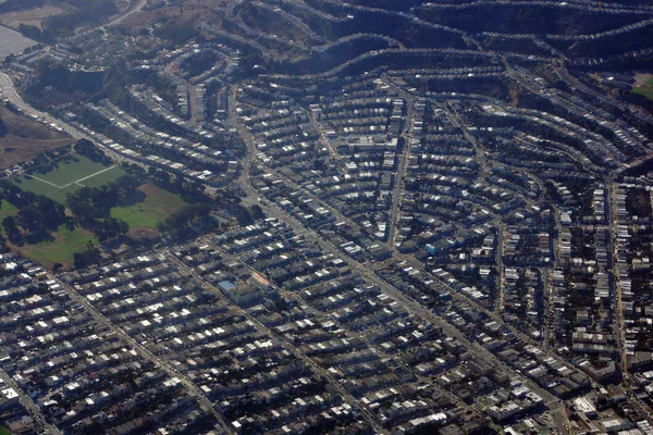
Aerial View Soccer, Baseball field and surrounding neighborhood of San Francisco City on a clear day. October 2015.
Aerial View Soccer, Baseball field and surrounding neighborhood — Stock Photo, Image
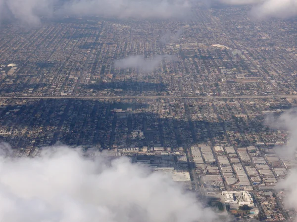
Looking down at LA suburban landscape above the clouds
Looking down at LA suburban landscape above the clouds — Stock Photo, Image
Aerial of Kaimuki Neighborhood leading towards Palolo Valley on Oahu, Hawaii. April 2016.
Aerial of Kaimuki Neighborhood — Stock Photo, Image
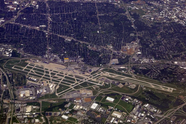
St. Louis - June 13, 2014: Aerial of St. Louis Lambert International Airport and surrounding city.
Louis June 2014 Aerial Louis Lambert International Airport Surrounding City — Stock Photo, Image
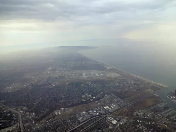
LA - July 15, 2012: Aerial of Coast and City of LA with View of Beach, and surrounding city area in California.
Aerial of Coast and City of LA with View of Beach, and surroundi — Stock Photo, Image
LA - October 26, 2018: Los Angeles Neighborhood, and surrounding area aerial view taken from an airplane.
October 2018 Los Angeles Neighborhood Surrounding Area Aerial View Taken — Stock Photo, Image
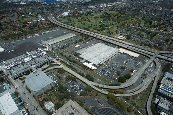
HONOLULU - APRIL 20: Aerial view of planes, helicopters, Golf Course, Parking lots, Roads leading into Airport and cars parked by buildings at the Honolulu International Airport, HNL, next to the water on Oahu, Hawaii. April 20, 2016.
Honolulu April Aerial View Planes Helicopters Golf Course Parking Lots — Stock Photo, Image
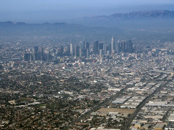
LA - October 26, 2018: Downtown Los Angeles and surrounding area aerial view taken from an airplane.
October 2018 Downtown Los Angeles Surrounding Area Aerial View Taken — Stock Photo, Image
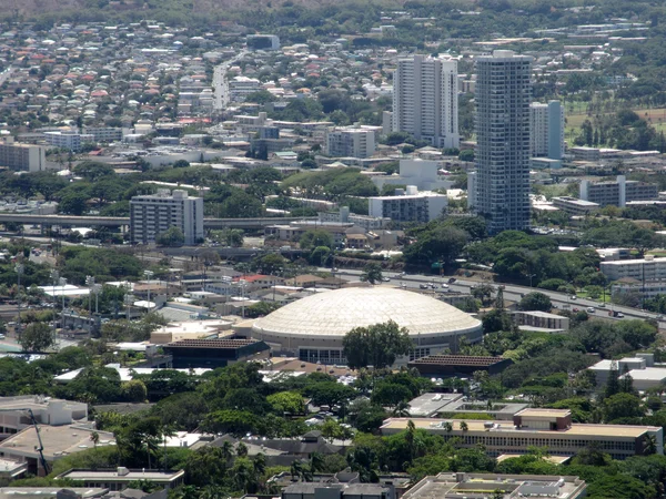
Landmark sporting arena the Stan Sheriff Center, Highway, Manoa and Kapahulu city area of Honolulu on Oahu in the state of Hawaii.
Stan Sheriff Center, Highway, Manoa and Kapahulu city area of Ho — Stock Photo, Image
St. Louis - June 13, 2014: Aerial of St. Louis Lambert International Airport and surrounding city.
Louis June 2014 Aerial Louis Lambert International Airport Surrounding City — Stock Photo, Image
Long train runs though LA aerial view
Long train runs though LA aerial view — Stock Photo, Image
Water Way surrounded by train tracks and LA Cityscape seen from the air.
Water Way surrounded by train tracks and LA Cityscape — Stock Photo, Image

Usage Information

You can use this royalty-free photo "Aerial of Highway and Communities in San Francisco Bay Area, California." for personal and commercial purposes according to the Standard or Extended License. The Standard License covers most use cases, including advertising, UI designs, and product packaging, and allows up to 500,000 print copies. The Extended License permits all use cases under the Standard License with unlimited print rights and allows you to use the downloaded stock images for merchandise, product resale, or free distribution.

You can buy this stock photo and download it in high resolution up to 3648x2736. Upload Date: Sep 30, 2018