Water Way surrounded by train tracks and LA Cityscape — Stock Photo, Image

Water Way surrounded by train tracks and LA Cityscape — Photo

Water Way surrounded by train tracks and LA Cityscape seen from the air.

 — Photo by ericbvd

Same Series:

Aerial of Highway and Communities in San Francisco Bay Area, California.
Aerial Highway Communities San Francisco Bay Area California — Stock Photo, Image
LA - October 26, 2018: Downtown Los Angeles, Waterway, and surrounding area aerial view taken from an airplane.
October 2018 Downtown Los Angeles Waterway Surrounding Area Aerial View — Stock Photo, Image
Aerial View landmark Cow Palace, Completed in 1941, is an indoor arena located in Daly City, California, situated on the city's border with neighboring San Francisco, and surrounding area on a clear day.
Aerial View of landmark Cow Palace — Stock Photo, Image
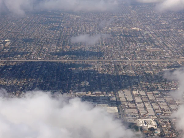
Looking down at LA suburban landscape above the clouds
Looking down at LA suburban landscape above the clouds — Stock Photo, Image
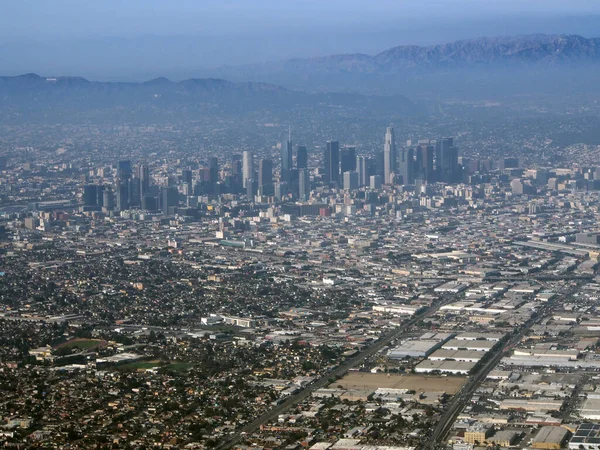
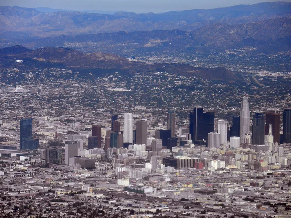
LA - October 26, 2018: Downtown Los Angeles and surrounding area aerial view taken from an airplane.
October 2018 Downtown Los Angeles Surrounding Area Aerial View Taken — Stock Photo, Image
LA - October 26, 2018: Los Angeles Neighborhood, and surrounding area aerial view taken from an airplane.
October 2018 Los Angeles Neighborhood Surrounding Area Aerial View Taken — Stock Photo, Image
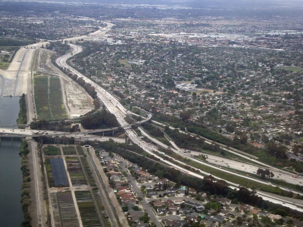
Highway interchange in LA next to Canal. Aerial Photograph.
Highway interchange in LA — Stock Photo, Image
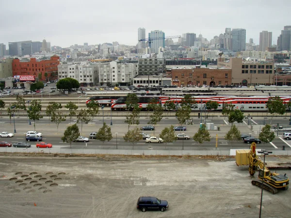
San Francisco - September 9, 2007: Densification CAT Bulldozer makes holes in the ground at construction site, Caltrain Station, and San Francisco Cityscape in the distance.
Densification CAT Bulldozer makes holes in the ground — Stock Photo, Image
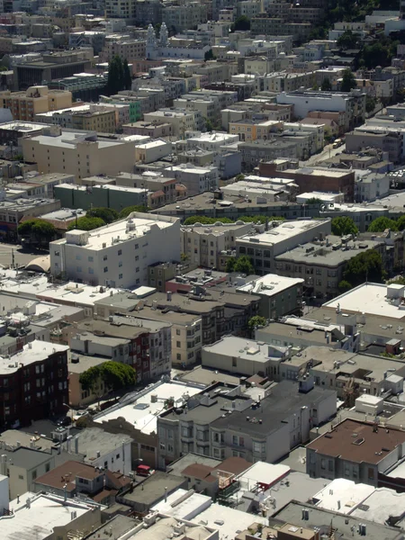
North Beach San Francisco Roof Tops and trees seen from the top of Coit Tower
North Beach San Francisco Roof Tops — Stock Photo, Image
Downtown los angeles aerial view taken from an airplane
Downtown Los Angeles — Stock Photo, Image
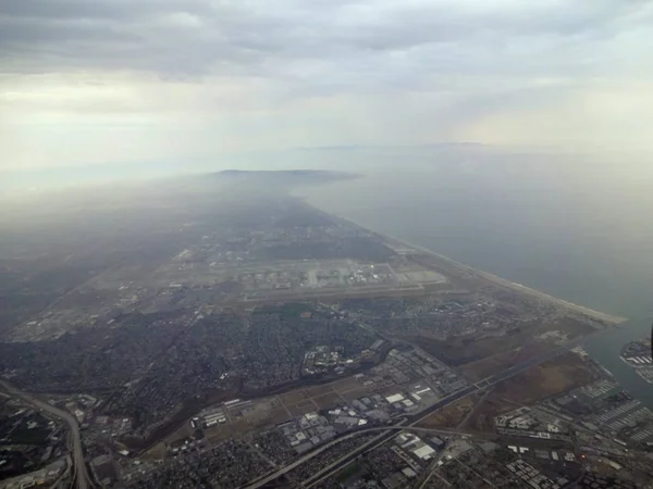
LA - July 15, 2012: Aerial of Coast and City of LA with View of Beach, and surrounding city area in California.
Aerial of Coast and City of LA with View of Beach, and surroundi — Stock Photo, Image
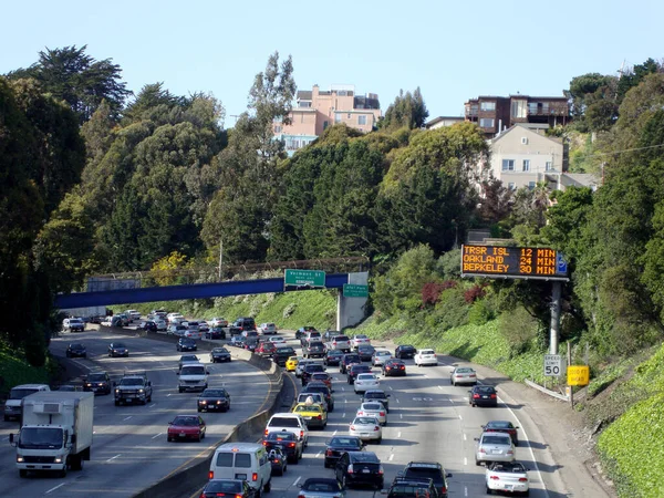
San Francisco - March 26, 2010: Overhead view of Cars driving on U.S. Route 101, or U.S. Highway 101 ( US 101) is a northsouth United States Numbered Highway that runs through the states of California, Oregon, and Washington, on the West Coast.
San Francisco March 2010 Overhead View Cars Driving Route 101 — Stock Photo, Image
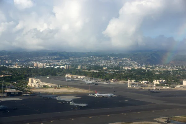
Honolulu - October 3, 2014: Aerial of Planes at Joint Base Pearl Harbor-Hickam with rainbow on Oahu, Hawaii.
Aerial of Planes at Joint Base Pearl Harbor-Hickam with rainbow — Stock Photo, Image
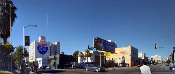
San Francisco, California - October 12 2008: Panoramic of Cars and people crossing intersection of 6th and Folsom Street.
San Francisco California October 2008 Panoramic Cars People Crossing Intersection — Stock Photo, Image
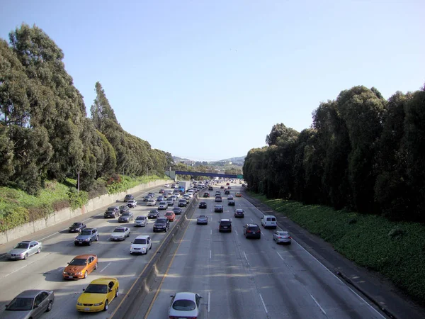
San Francisco - March 26, 2010: Overhead view of Cars driving on Interstate 280. Interstate 280 is a 57.5-mile-long major northsouth auxiliary Interstate Highway in the San Francisco Bay Area of Northern California.
San Francisco March 2010 Overhead View Cars Driving Interstate 280 — Stock Photo, Image
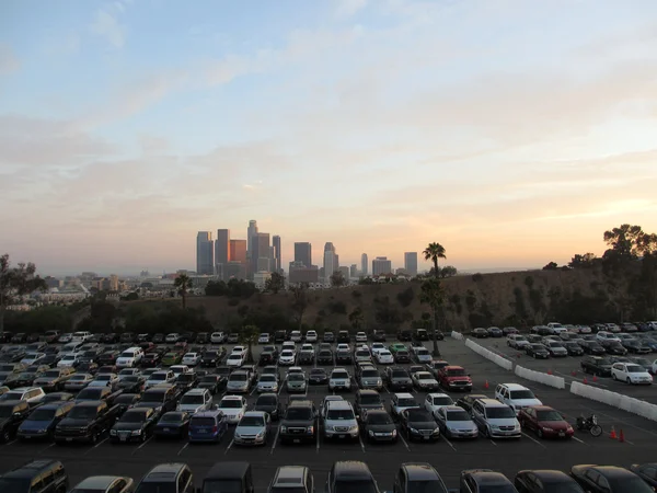
LA - JULY 13: Full Dodger parking lot and Downtown LA in the distance at Dusk seen behind a tree, hill, and townhouse in California.
Full Dodger parking lot and  Downtown LA in the distance at Dusk — Stock Photo, Image

Usage Information

You can use this royalty-free photo "Water Way surrounded by train tracks and LA Cityscape" for personal and commercial purposes according to the Standard or Extended License. The Standard License covers most use cases, including advertising, UI designs, and product packaging, and allows up to 500,000 print copies. The Extended License permits all use cases under the Standard License with unlimited print rights and allows you to use the downloaded stock images for merchandise, product resale, or free distribution.

You can buy this stock photo and download it in high resolution up to 3140x2355. Upload Date: Dec 1, 2012